Downloading a map is not the same as learning how to use it offline. Some apps save a route line but not every surrounding map layer. Others need an additional download for terrain details or search. Check the specific app while you still have reliable internet access.
Open the planned area with the phone in airplane mode and inspect it at several useful scales. Find the starting point, major junctions and the way back. Confirm what information remains available. Location services and mobile data are different functions, but a position marker alone does not supply a missing map.
Give paper a real job
Choose a paper map that covers more than the narrow strip of your intended path. If you need to turn back or follow an authorized alternative, the surrounding terrain and trail network matter. A tiny printout cropped tightly around one route can hide the information needed when the day changes.
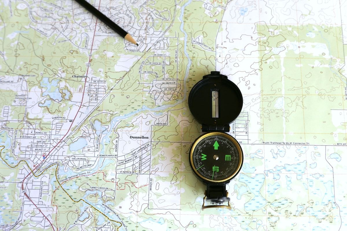
Learn the map's legend and scale. Find the trailhead, the direction of travel and a few clear landmarks before starting. A compass is useful only with the knowledge to interpret it; take instruction and practice in a familiar, low-consequence setting rather than expecting a new tool to teach navigation during a problem.
Protect paper from rain while keeping it accessible. A map sealed at the bottom of the pack is easy to forget until you are uncertain. Fold it to show the next section, and keep the rest available rather than cutting away areas that seem irrelevant at home.
Compare position with the landscape
At an obvious junction, compare the sign and terrain with both maps. Notice how the trail direction and nearby features fit together. This is a better time to discover a mistaken download or confusing scale than after passing several uncertain turns.
Do not follow a digital line blindly when the ground, signs or current closure notices disagree. Apps can contain old routes, user-created tracks or paths unsuitable for the conditions. Follow current land-manager guidance and return to a known location when appropriate rather than continuing to make the display appear correct.
Keep the phone's battery and weather protection in mind. Reduce unnecessary use and carry a suitable charging option if the trip calls for one, but retain the separate map. The point of two methods is to avoid a single failure leaving you without information. They work best when you understand both before the route becomes unfamiliar.